British Science Week, run by the British Science Association is a ten-day celebration of science, technology, engineering and maths, featuring entertaining and engaging events and activities across the UK for people of all ages.
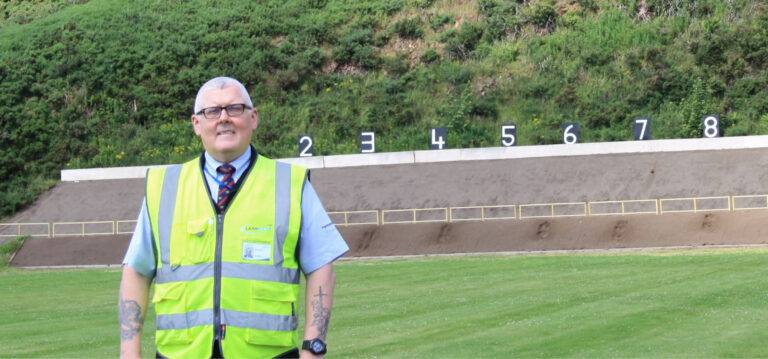
Landmarc uses a range of innovative surveillance and radar solutions across the Defence training estate and in partnership with Monmouthshire-based MARIS, we supply these to the Defence Infrastructure Organisation (DIO) to help maintain a safe place to train. Martin Burke, Training Area and Range Operations Manager tells us about the amazing science behind the technology that is used across our sites.

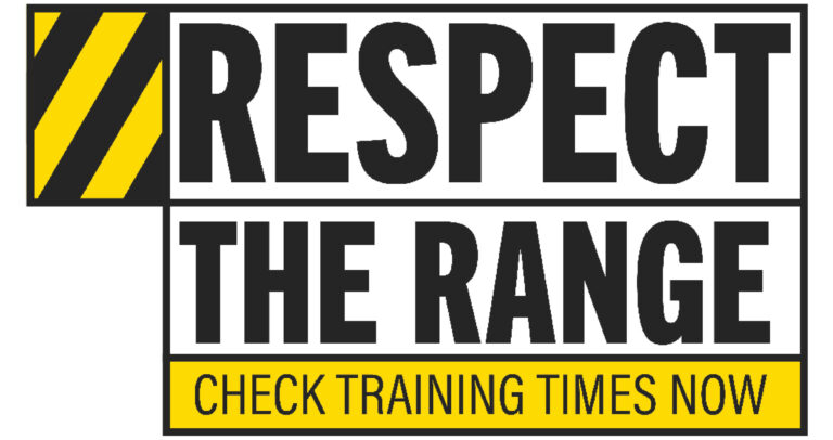
“Coastal, shoreline, air, land and sea approaches on the military training estate are dangerous places whenever live firing is taking place. In support of DIO, Landmarc has been working with MARIS, surveillance and radar experts, for more than 10 years and has invested heavily in the very latest surveillance technology to ensure all such danger areas remain free from public incursion.
“We have 11 coastal ranges/range complexes where we have RADAR surveillance covering the sea danger area up to 18 miles offshore and CCTV coverage of the beach/foreshore. At Manorbier in Wales we cover air traffic using an Airwatch RADAR similar to those used at many airports.
“Sites may have up to four sea surveillance RADARs but in the main there are two per site with cameras in support of each RADAR. All the information, images and controls are relayed back to a range control building and often duplicated at manned lookout posts.
“Shore lines and sea approaches are constantly monitored for unsuspecting incursions utilising land based coastal radars. We are actively migrating from magnetron driven 360 degree surveillance systems to the latest in low maintenance, solid state, electronically, scanned radar technology. This forward thinking advance utilises frequency modulated carrier wave doppler technology to drive detection rates upwards. Greater resolution capability also allows for the full spectrum of detection from small and slow moving objects right through to fast moving and larger scale vessels.
“To provide the additional surveillance requirement where coastal terrain hinders radar coverage, Landmarc has installed the very latest in high definition, dual thermal, pan, tilt and zoom cameras – an advance in technology that provides crystal clear visual images with optimal clarity in an all-weather, day or night environment. Drone capability is another area where we are seeking to reduce the burden historically placed on human interaction for remote areas of land and shoreline clearance.
“Always seeking to stay on par with current technological advances, Landmarc is further expanding our surveillance footprint with the use of light detection and ranging image technology. Such devices allow for the 3D scanning and illumination of potential targets with pulsed laser light giving excellent short range detection, tracking and identification of both static and moving concerns.
“In a fast moving technological environment, Landmarc has embraced the very latest ‘on the market’ surveillance capabilities with one goal in mind – to always ensure A SAFE PLACE TO TRAIN.”